Walk the Tides: Unlocking Hidden UK Bays Safely
Springs, Neaps, and the Space Between
Rule of Twelfths: A Guide, Not Gospel
Maps, Apps, and Tables You Can Trust
Paper Backbone, Digital Speed
A folded OS map resists rain, shows scale honestly, and invites big-picture thinking across headlands and cut-off shelves. Digital tools add speed, elevation profiles, and tide overlays. Use both: sketch approach lines on paper, drop waypoints on your phone, and reconcile differences until the route and timings make sense from multiple perspectives.
Battery, Brightness, and Backup Planning
Coastal glare drains screens faster than you expect. Lower brightness, enable airplane mode, and carry a compact power bank. Keep a small analog wristwatch set to local tide time, plus a grease pencil for waterproof notes. Redundancy means one tool fails gracefully without erasing your timing, exit options, or confidence when clouds gather unexpectedly.
Worm's Head Timing Walkthrough
Worm’s Head on the Gower offers a classic causeway window controlled by tide height and swell. Approach with a conservative schedule, cross on the ebb, and set a firm turnaround that beats the flood by a wide margin. Speak with local wardens, watch the surge between ledges, and never allow excitement to replace a clear retreat.
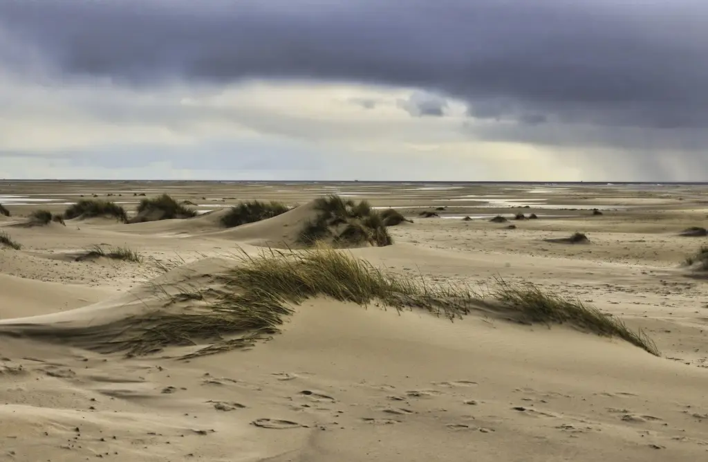
Spotting Tidal Gates Before You Step Down
Turnaround Times That Save Your Day
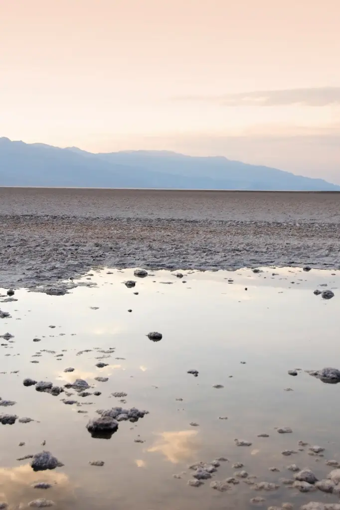
Reading the Water, Feeling the Ground
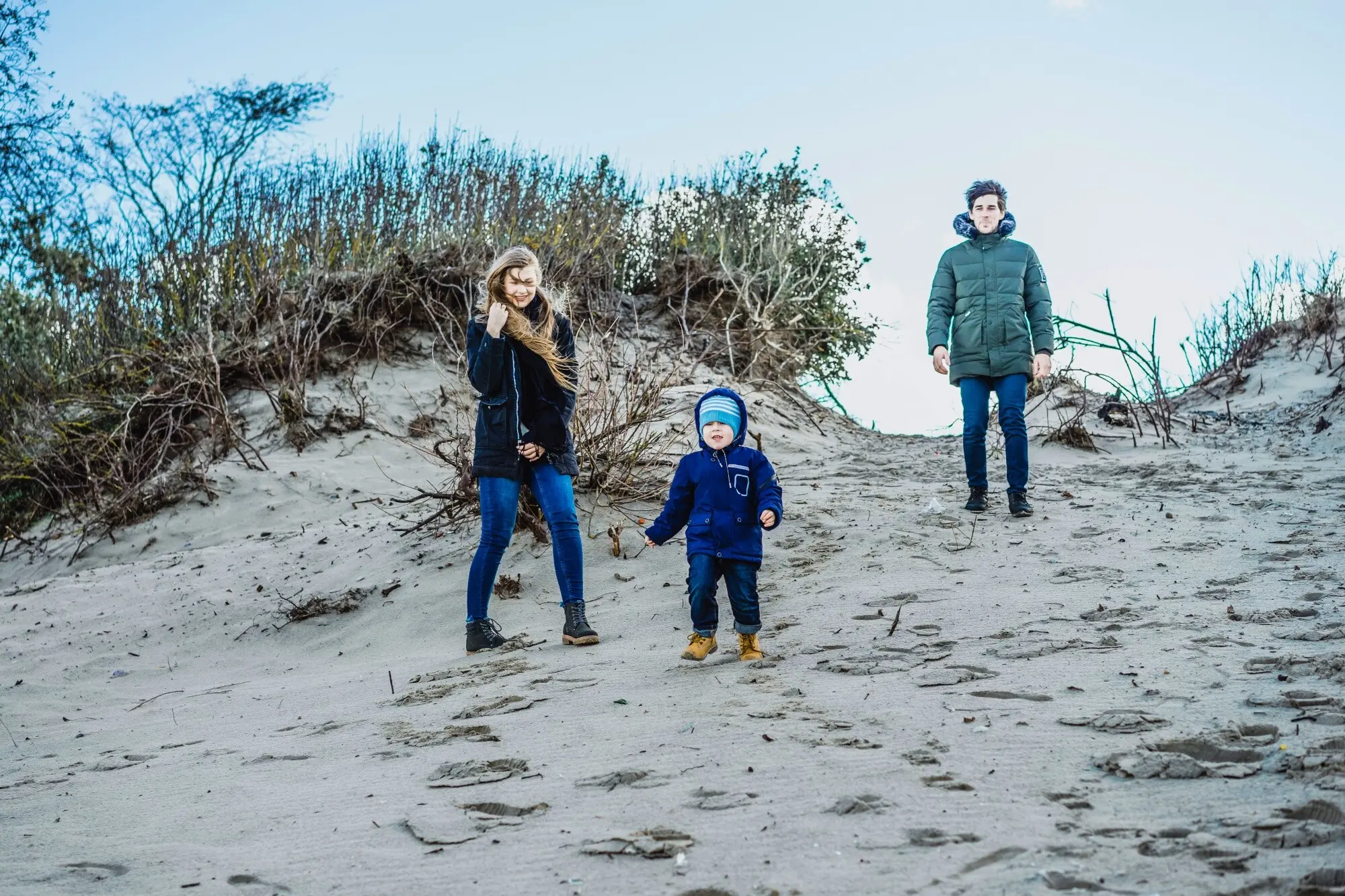
Wildlife Seasons and Gentle Footprints
Seals, Birds, and Quiet Distances
Tidepools, Kelp Forests, and Fragile Edges
Carry-In, Carry-Out, and Invisible Habits
Local Voices, Real Stories, and Shared Wisdom
Conversations at Harbours and Pathside Gates
Trip Reports, Maps, and Aerial Imagery
Kynance Cove: A Narrow Window, A Safe Return
All Rights Reserved.